Shadow
A white canvas to drop layers on it, with a visual division between sea and land without adding a new background.

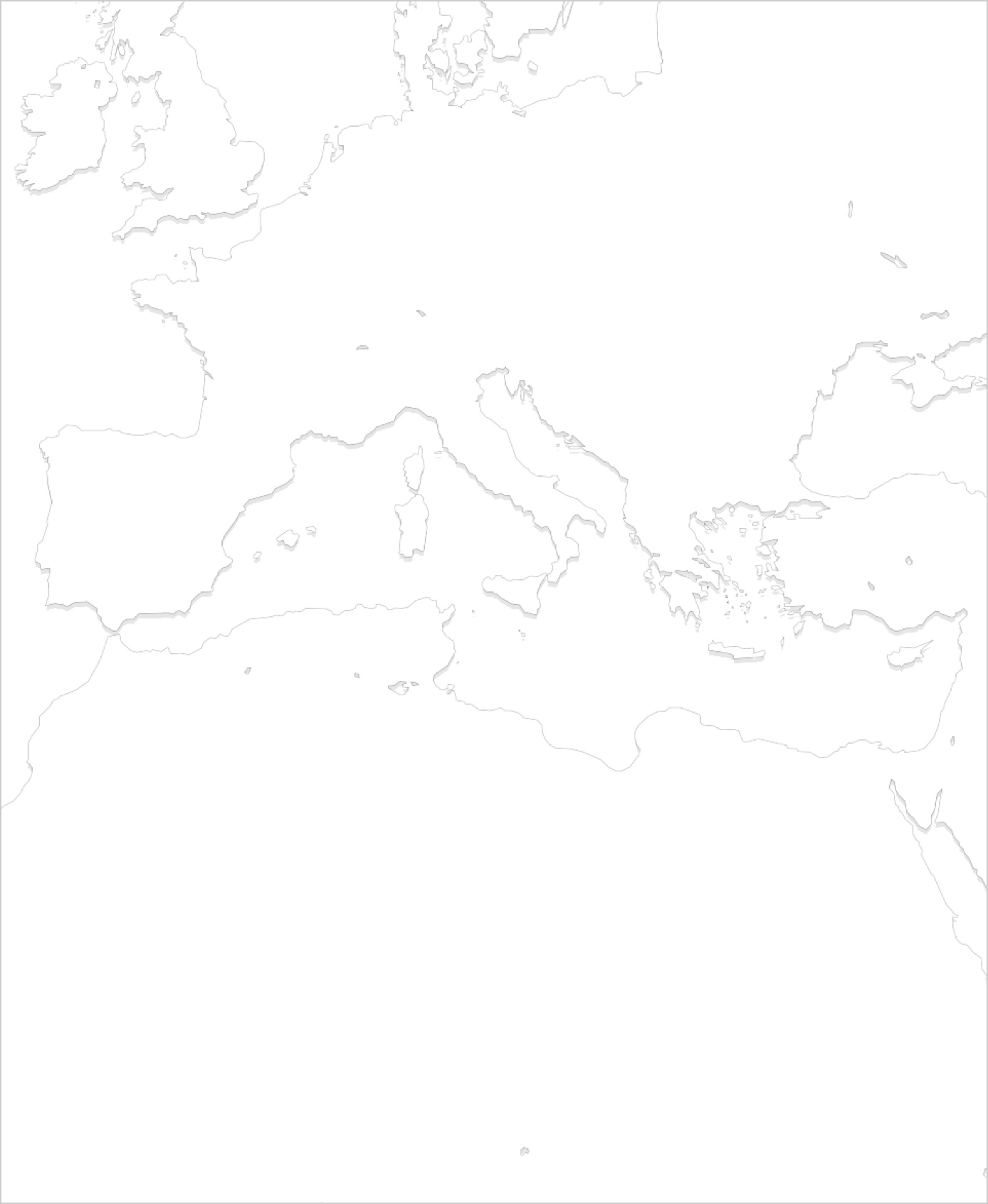 Meditarranean sea
Hillshade
Physical context based on elevation.

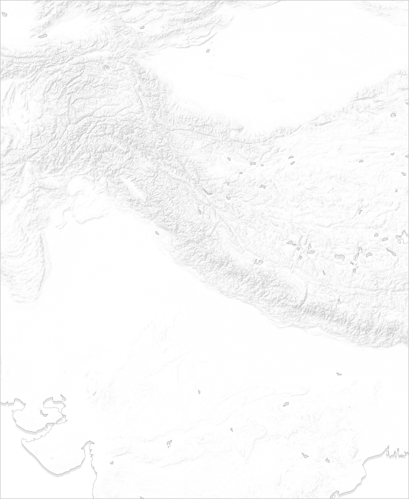 Tibetan plateau
Admin boundaries
Solid line for countries, dashed line for sub-national division.
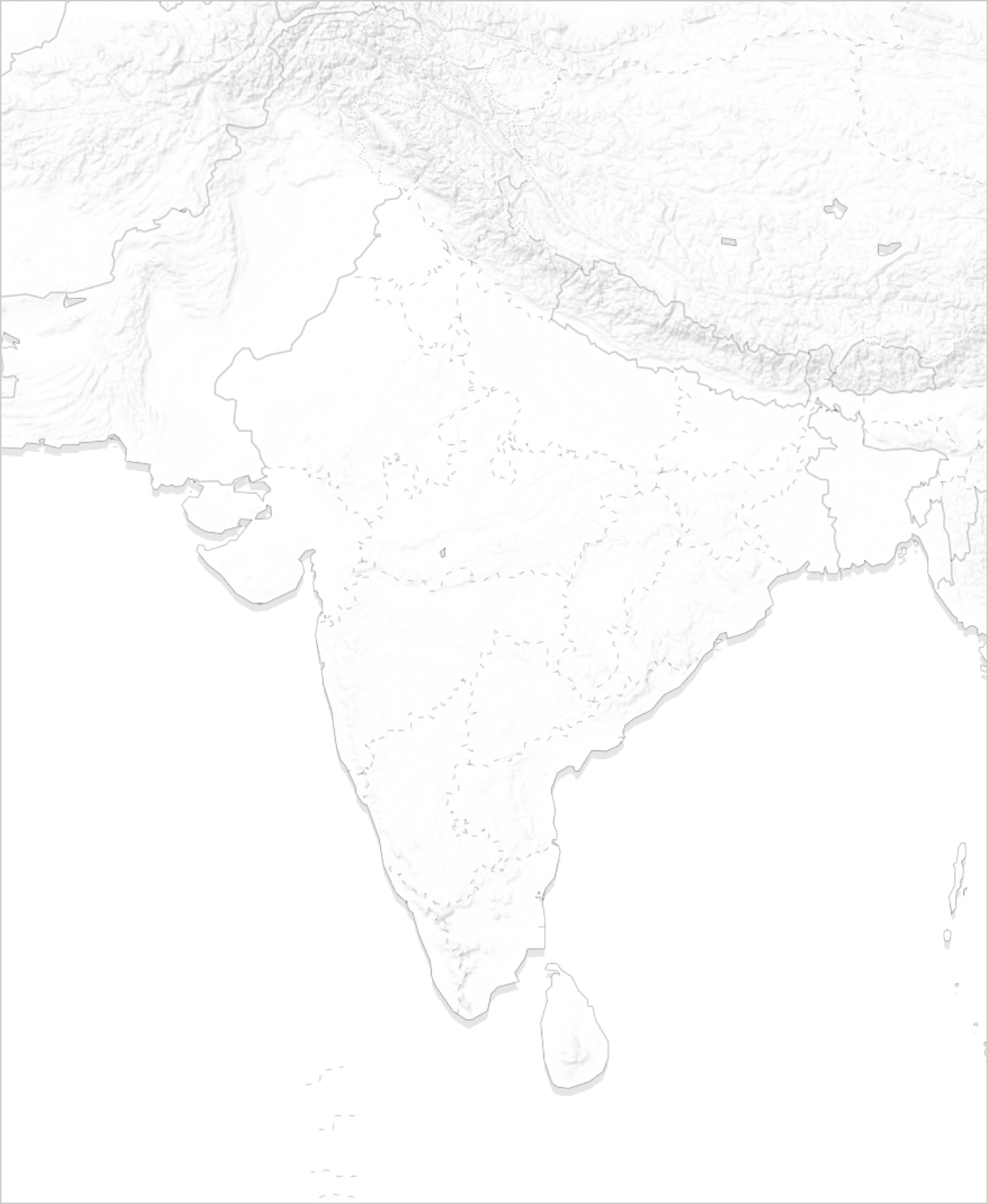 Administrative divisions of India
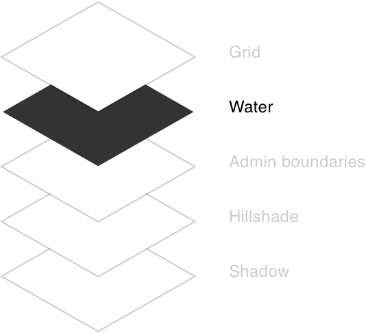
Water
Physical context based on elevation underwater (bathymetry).
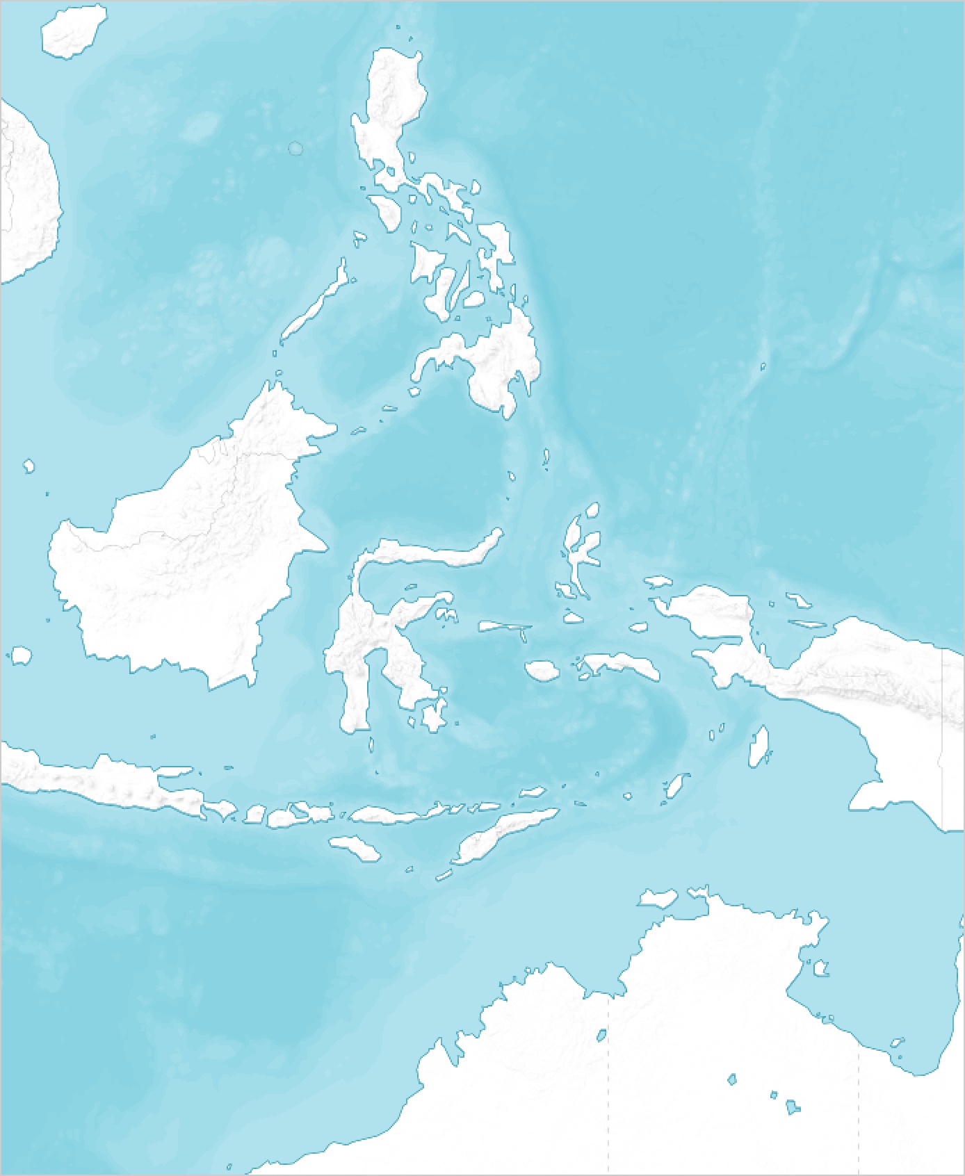 Indonesia's surroundings
Latitude and longitude grid
The geographic coordinate system for placing every location on Earth.

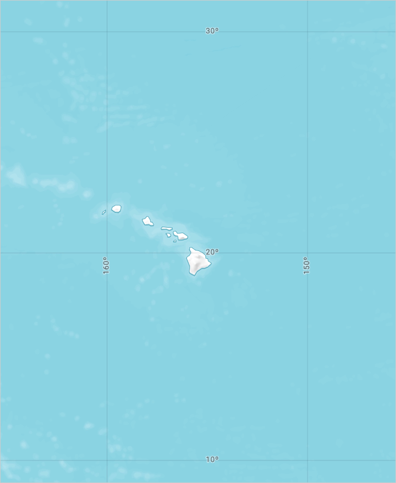 Hawaiian islands